Lunar Regolith
formation and evolution
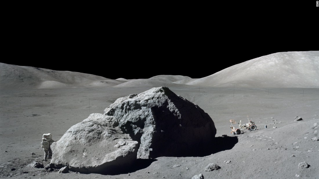
Regolith is the layer of loose material covering the surfaces of most solid planets. Crustal materials are broken down by impacts of all sizes, which fracture rock and spray fine particles to great distances. We can learn about these impacts and the space environment by studying the best-known example of regolith - the Moon’s.


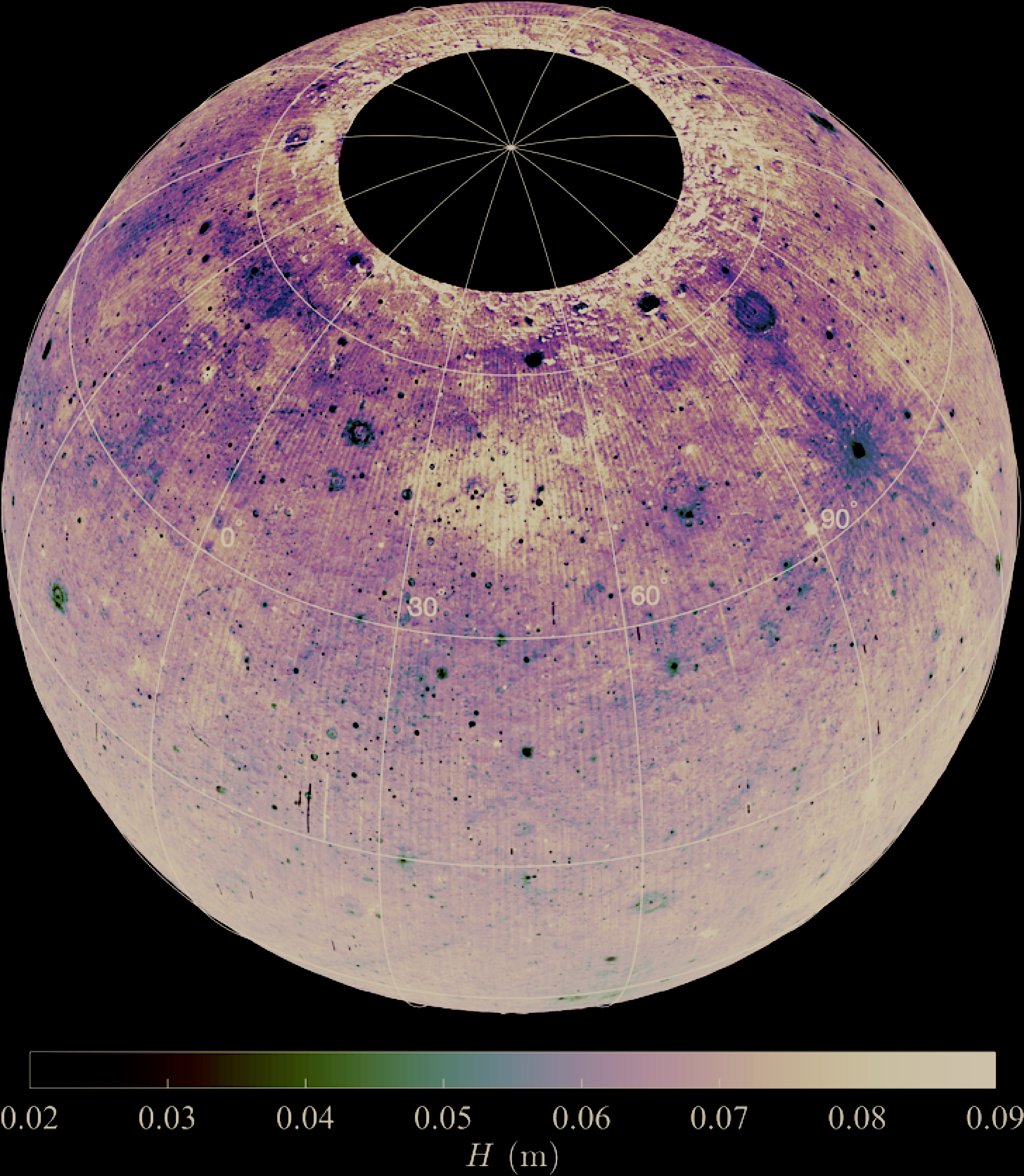
We used data from the Lunar Reconnaissance Orbiter’sDiviner Lunar Radiometer Experiment to measure and map the thermophysical properties (such as density or porosity) of the Moon’s uppermost regolith. Our results tell a story of more than a billion years of violent impacts and volcanic eruptions, expressed through intricate patterns just beneath the lunar surface. Some of these features have never been seen before, and are ripe for further study. Many of the underlying processes also occur on other planetary bodies, making the Moon a “cornerstone” for understanding other planets.
Further information:
- Hayne, P. O., Bandfield, J. L., Siegler, M. A., Vasavada, A. R., Ghent, R. R., Williams, J. P., ... & Paige, D. A. (2017), Global regolith thermophysical properties of the Moon from the Diviner Lunar Radiometer Experiment, Journal of Geophysical Research: Planets Link
- Bandfield, J. L., Song, E., Hayne, P. O., Brand, B. D., Ghent, R. R., Vasavada, A. R., & Paige, D. A. (2014), Lunar cold spots: Granular flow features and extensive insulating materials surrounding young craters, Icarus, 231, 221-231. Link
- Vasavada, A. R., Bandfield, J. L., Greenhagen, B. T., Hayne, P. O., Siegler, M. A., Williams, J. P., & Paige, D. A. (2012), Lunar equatorial surface temperatures and regolith properties from the Diviner Lunar Radiometer Experiment, Journal of Geophysical Research: Planets, 117(E12). Link
- Data Products:
- Diviner H-parameter (thermal inertia)
In this directory, you will find maps of the H-parameter in meters, along with latitude and longitude grids. These data files are in 32-bit floating point format, 128 pixels per degree (ppd), spanning -70 to +70 degrees latitude. Also provided in the same directory are thermal inertia (referenced to 273 K) maps at 10 ppd.