research
Research in the EPIC group spans a range of planetary bodies, unified by a focus
on ice and volatiles. We use numerical methods to model planetary
surfaces and atmospheres, making and testing predictions using remote sensing data.
Below, you will find links to summaries of past and ongoing research projects. Links to data products are also provided, in the spirit of "open science."
Below, you will find links to summaries of past and ongoing research projects. Links to data products are also provided, in the spirit of "open science."
Data Products:
- Moon
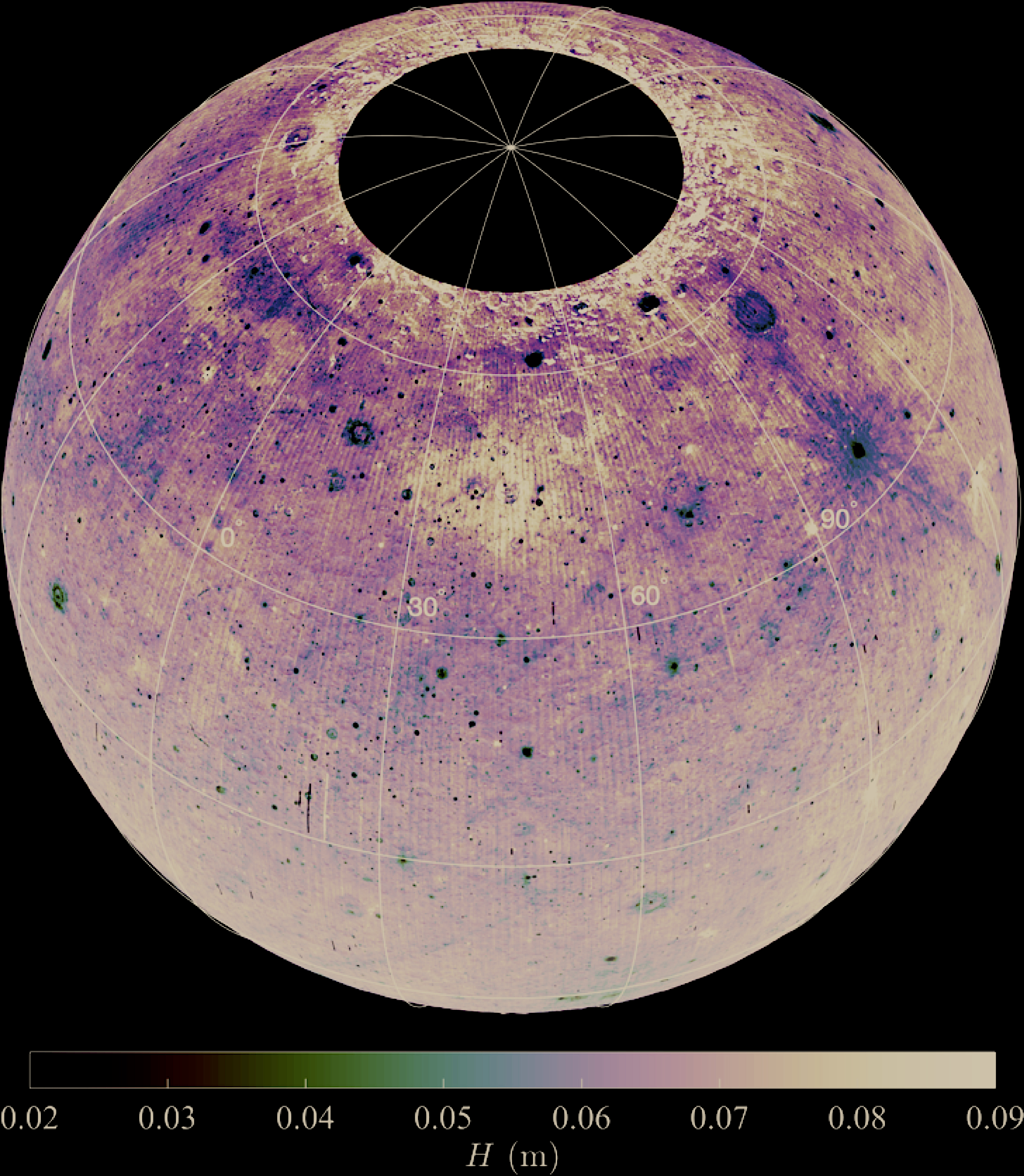
- Diviner H-parameter (thermal inertia).
In this directory, you will find maps of the H-parameter in meters, along with latitude and longitude grids. These data files are in 32-bit floating point format, 128 pixels per degree (ppd), spanning -70 to +70 degrees latitude. Also provided in the same directory are thermal inertia (referenced to 273 K) maps at 10 ppd.


